Shore Drive Virginia Beach Living: A Local Guide
March 5, 2026
March 5, 2026
Picture a bayside morning where the water is calm, coffee is in hand, and your day can swing from trail time to dockside dinner without leaving your neighborhood. If you are weighing a move to Virginia Beach and want easy outdoor living with quick access to city conveniences, Shore Drive deserves a close look. In this guide, you will learn how the corridor lives day to day, from beaches and marinas to commuting, housing, schools, and flood planning. Let’s dive in.
Shore Drive traces the north side of Virginia Beach along Lynnhaven Inlet, Broad Bay, and Linkhorn Bay, crossing the Lesner Bridge toward First Landing State Park and Cape Henry. It is the primary route connecting the bay-side neighborhoods to the Oceanfront and I‑264 for regional access. You will find waterfront condos, bayfront homes, working marinas, and long-running local restaurants in a setting that feels more local than the resort strip. Many residents choose Shore Drive for year-round living and a quieter coastal lifestyle compared with the Oceanfront scene. Visitor materials describe the corridor’s setting and access.
First Landing State Park, at 2500 Shore Drive, anchors outdoor life here with miles of maritime forest trails, a bay beach, picnic areas, and seasonal services. It is popular for hiking, biking, kayaking, and family beach days. Day-use parking fees and operations can vary by season, so check the park’s official page for current details.
Neighborhood bay access points near the Lesner Bridge and the North End offer shallower, warmer water and smaller surf than the Oceanfront. Many people prefer the bay for a more relaxed swim and low-key beach time. For a quick overview of the calmer water and local access, see the visitor guide’s bayfront notes. Always confirm current beach rules and any lifeguard coverage on park or city pages before you go.
The Cape Henry Trail runs through First Landing and links to a broader network of park paths used for walking and cycling. Sections of Shore Drive and the Lesner Bridge include sidewalks and a multi-use path that locals use for runs, bikes, and scenic strolls. Dedicated bike facilities do not cover every block, so expect conditions to vary. For summer connections to the Oceanfront, the VB Wave Bayfront Shuttle runs seasonally; verify routes and hours on Hampton Roads Transit’s VB Wave page.
If you enjoy days on the water, you will have options nearby. First Landing’s Narrows area at the 64th Street extension includes a public launch for motorboats and small craft, with trailer parking and access to Broad Bay. Kayaks and paddleboards also use informal put-ins around the bays. Review launch details and any fees on the park’s boating and water sports page.
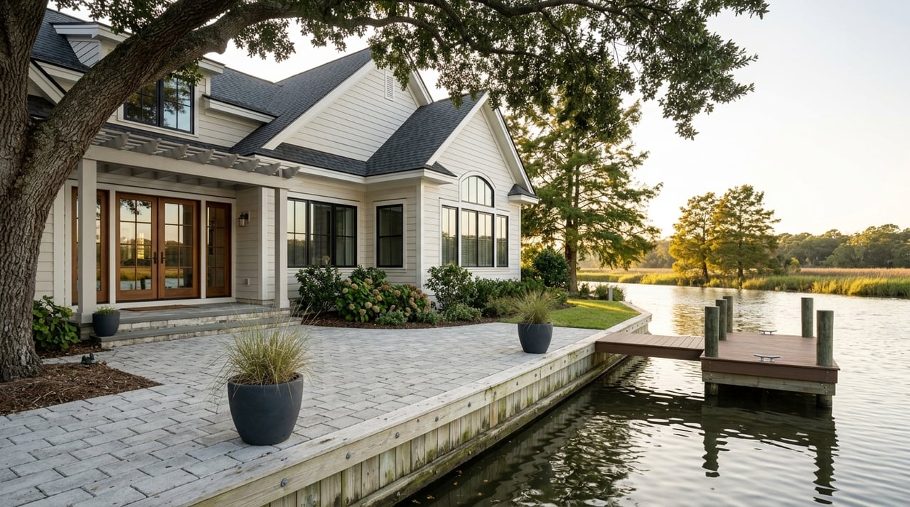
For year-round moorage, The Marina at Marina Shores (inside Lynnhaven Inlet) offers wet slips, shore power, fuel, pump-out, and guest services. Being inside the inlet provides added shelter from open-bay conditions. Slip sizes, counts, and waitlists change with the season, so confirm availability and requirements with the marina directly via The Marina at Marina Shores.
Charter boats and headboat trips run from docks along Shore Drive, with options for inshore and nearshore fishing. Several restaurants are boat-accessible, which makes “dock-to-dinner” a real perk of living here. For an overview of fishing operators and the Dockside complex, browse this local fishing and charter resource.
The Shore Drive corridor mixes local favorites and bayside venues that stay lively year-round and especially in summer. Staples include Dockside Seafood & Fishing Center (3311 Shore Drive), Hot Tuna (2817 Shore Drive), CP Shuckers Shore Drive, and Back Deck at the Fish House. Many spots have outdoor seating and views, and some offer dock access. For everyday errands, small commercial nodes and a nearby grocery keep routine shopping simple. Check each business for current hours and seasonality.
Shore Drive links quickly to I‑264 for trips to Norfolk and the wider region. Off-peak, typical drive times to the Oceanfront or central Norfolk often fall in the 15 to 30 minute range, depending on your exact start and end points. Expect added congestion during summer weekends and weekday rush hours. Keep an eye on VDOT’s Hampton Roads project updates for construction that can affect commutes, and review park guidance that reflects typical drive times.
Hampton Roads Transit operates seasonal VB Wave shuttles that link parts of Shore Drive and First Landing to the Oceanfront and Rudee Inlet. This can be useful when parking is tight or for a car-free beach evening. Regular HRT bus service also reaches nearby corridors. Always confirm routes, fares, and dates on the official VB Wave page.
Walkability varies by block. Areas around restaurants, parks, and small commercial centers are more walkable, while most residents still drive for groceries and errands. Recreational biking is strong around First Landing and the Cape Henry Trail. Along Shore Drive itself, bike infrastructure is piecemeal and a recurring planning topic, so route choice matters. A travel overview of trails and outdoor highlights is available on this summary page.
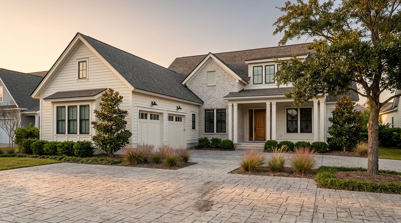
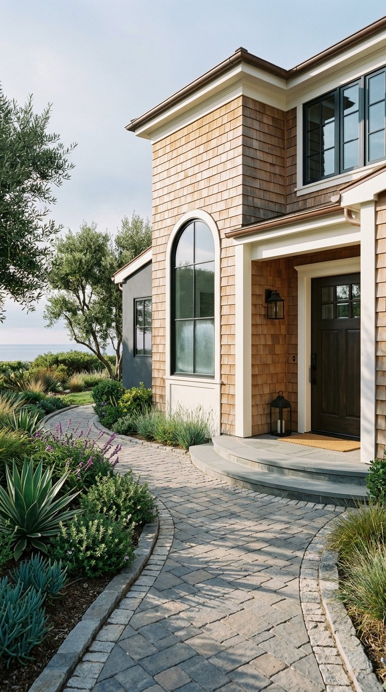
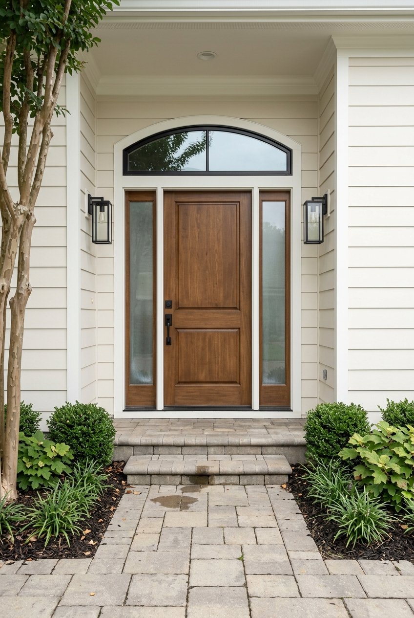
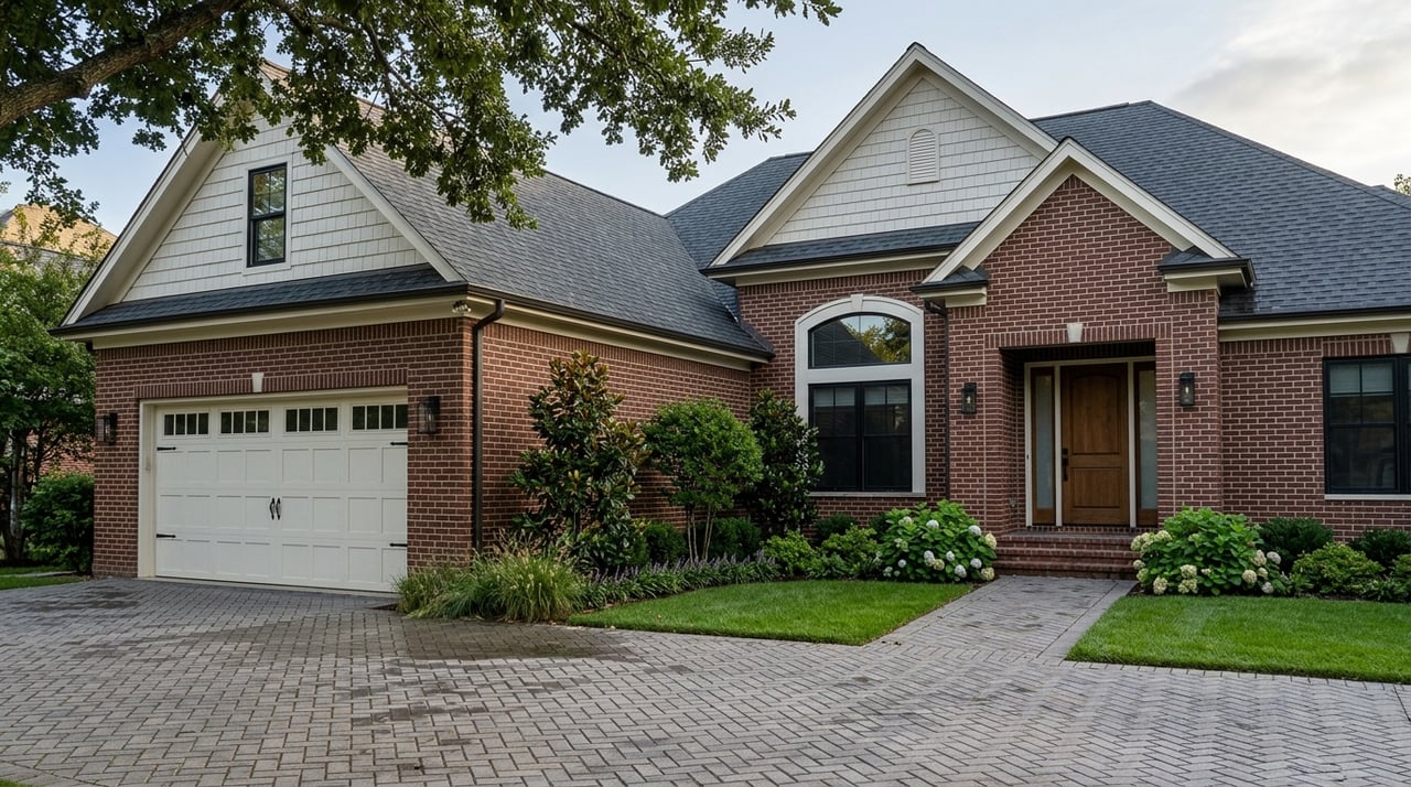
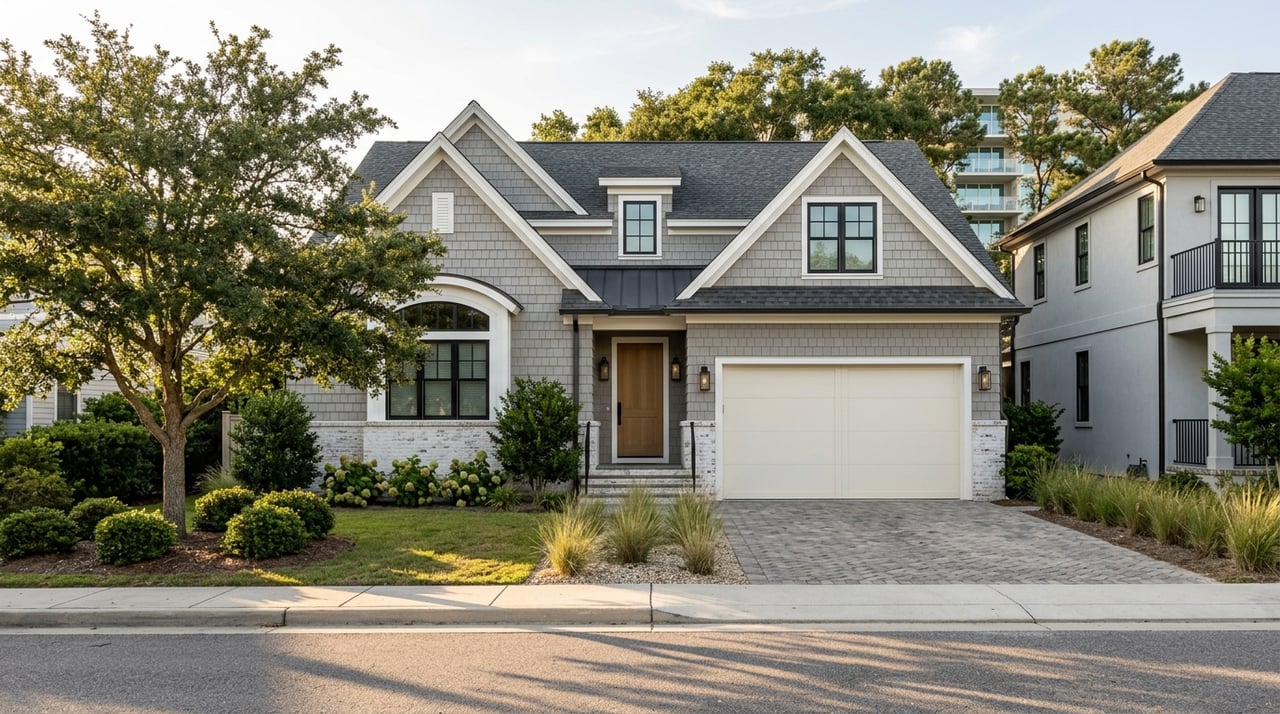
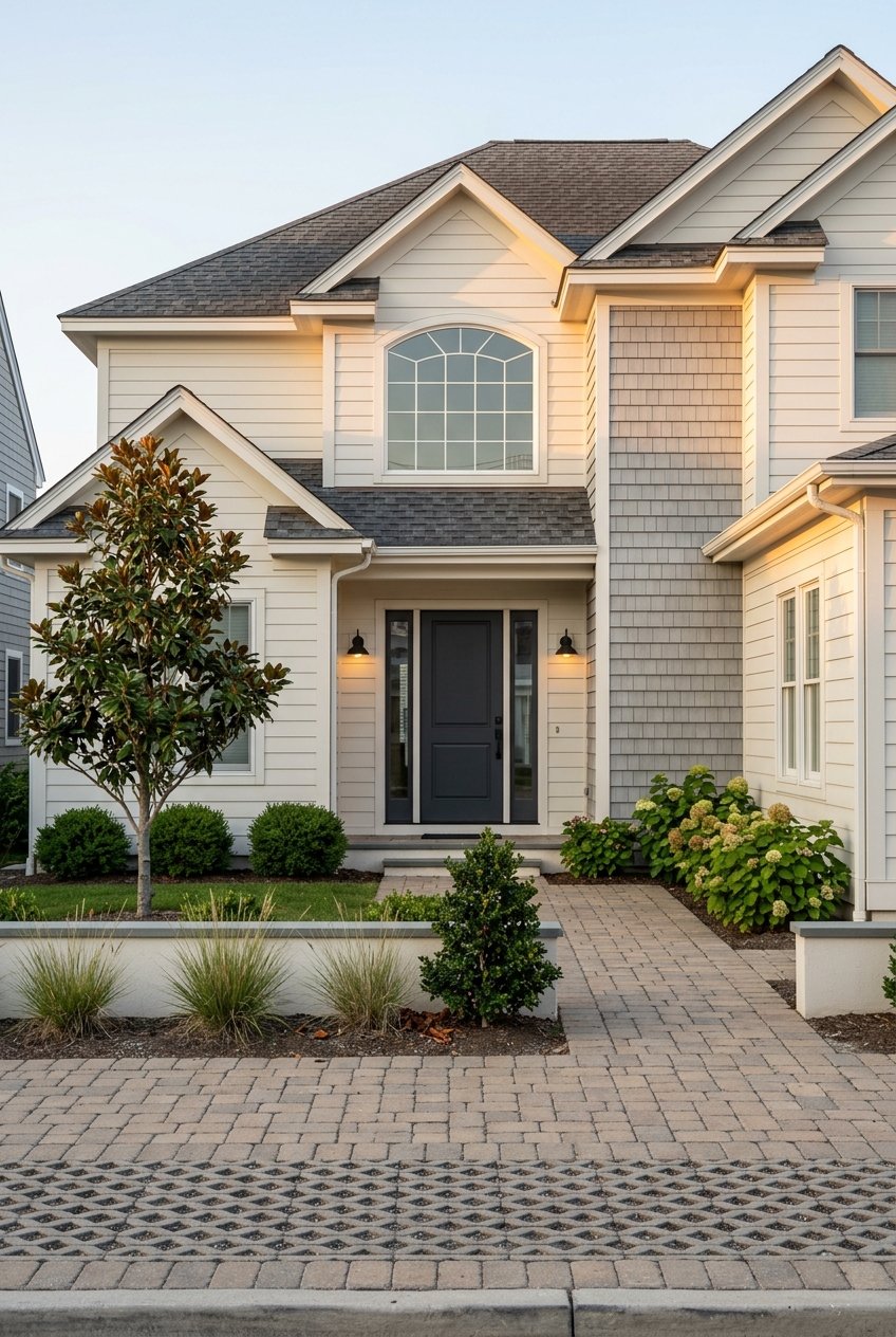
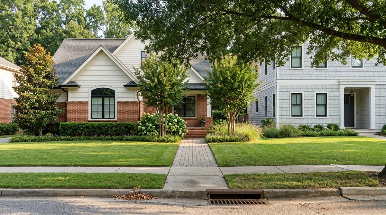
Housing along Shore Drive ranges from bayfront condos to single-family homes on the water, including deepwater lots in select pockets. You will also find mid-century cottages that have been renovated, newer infill builds, and larger modern rebuilds on premium sites. The mix appeals to downsizers and to households that want water access and low-key, year-round coastal living.
Citywide prices in Virginia Beach shift month to month, and bayfront locations along Shore Drive often trade above the city median due to water access and lot characteristics. Prices vary widely by view, depth, and neighborhood pocket. For up-to-date values and on-market opportunities, request a property-specific analysis based on current MLS data and recent comparable sales.
Many addresses along the bay/Great Neck corridor are commonly zoned to John B. Dey Elementary, Great Neck Middle School, and Frank W. Cox High School. Boundaries can vary by property and can change over time. Always verify the assigned schools for a given address with official boundary maps during your due diligence.
Regional guidance used in Hampton Roads planning recommends preparing for about 1.5 feet of sea level rise by 2050, roughly 3.0 feet by 2080, and about 4.5 feet by 2100. These benchmarks inform infrastructure and design choices across the region. You can review the policy context through the Hampton Roads Planning District guidance.
Virginia Institute of Marine Science supports StormSense and related tide gauges that help track high-tide, king tide, and storm-surge conditions. These tools offer useful local insight into water levels near Shore Drive. Learn more about the network on VIMS’s StormSense page.
For any Shore Drive property, build flood diligence into your first steps. Check official flood zones and Base Flood Elevations on FEMA’s Flood Map Service Center, and request an elevation certificate if the home sits in a mapped Special Flood Hazard Area. Ask about flood history, drainage, and any seawall or bulkhead maintenance. Start your research on the FEMA Flood Map Service Center.
Use this practical list to make your due diligence smooth and thorough:
If you want a calm coastal setting with quick access to trails, marinas, and relaxed bay beaches, Shore Drive offers a compelling lifestyle. You can live near the water, enjoy low-key dining, and still reach the Oceanfront or Norfolk efficiently when schedules allow. The key is to pair lifestyle goals with smart coastal diligence on flood, shoreline, and moorage. When you are ready to explore specific homes and micro-neighborhoods, connect with Rowland RE for a concierge consultation tailored to your needs.
Stay up to date on the latest real estate trends.

We pride ourselves on providing personalized solutions that bring our clients closer to their dream properties and enhance their long-term wealth. Contact us today to find out how we can be of assistance to you!